
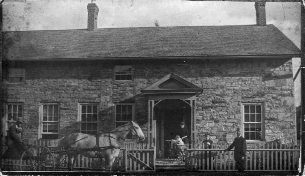
When my parents moved into their home, built for and previously occupied by my father’s parents, they found some things that had been left by my grandmother when she moved to Boston. Among them were some stereoscope cards. They appear to date from the mid- to late-1800s and have handwritten notes on the back. I have scanned them and done some digital enhancement. I will attempt to transcribe the notes as best I can.
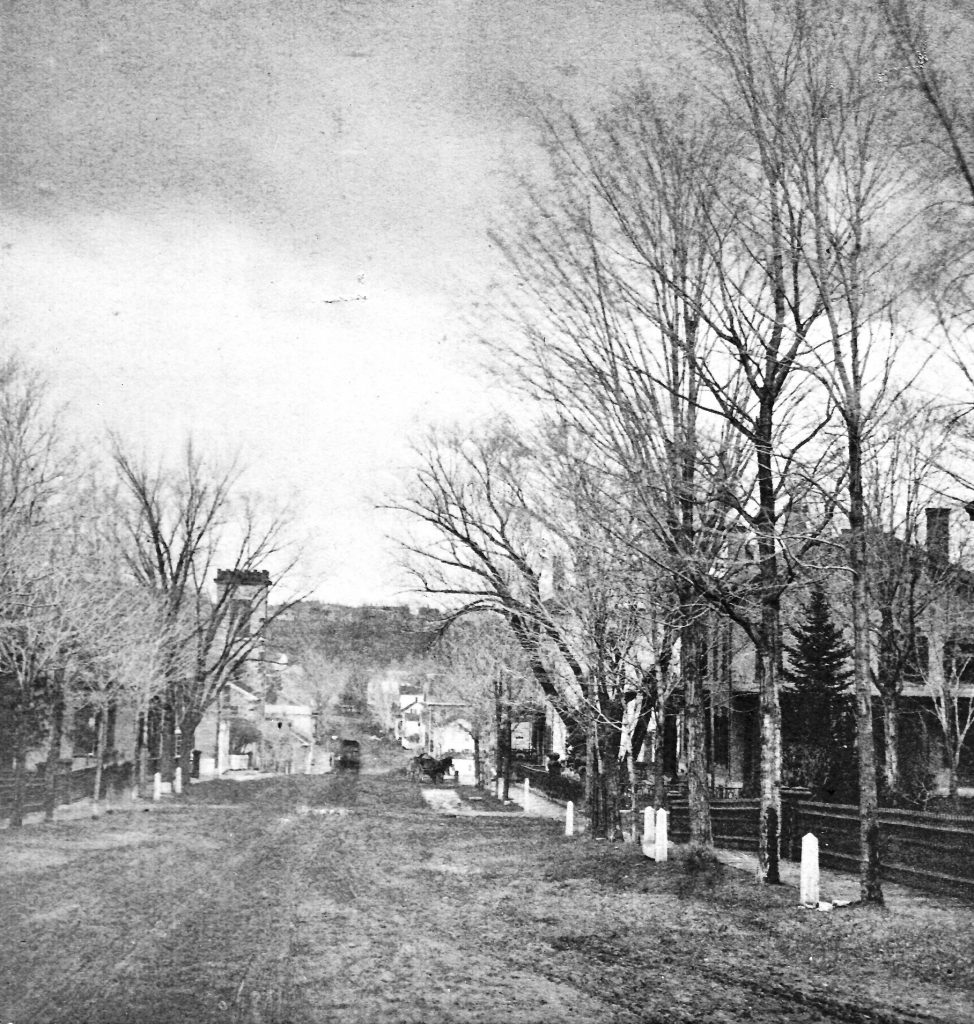
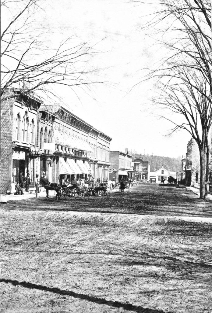
Right Side:
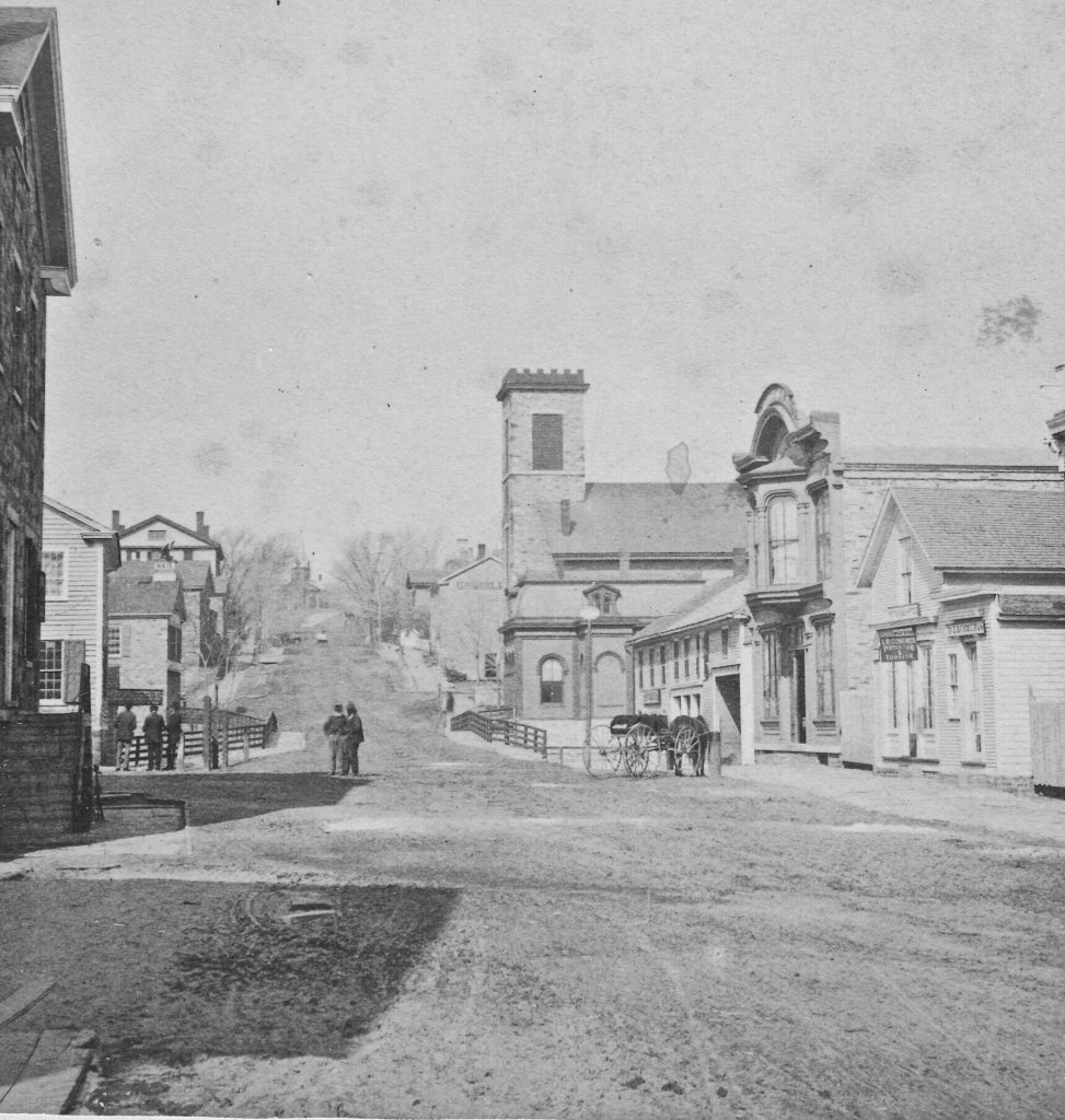
Dr. L. B. Cummings Office
Store building with window
Mathews Store
Next: McGuire’s Hotel
Keeseville Bank Built 1871
Left Side:
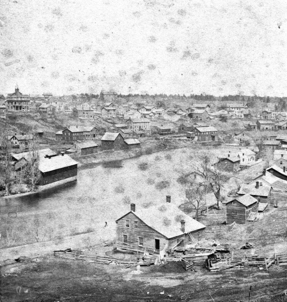
Large stone building, Mathew House (originally Thompson’s – 1st Bank of Essex County)
Next: Mcguire’s Store
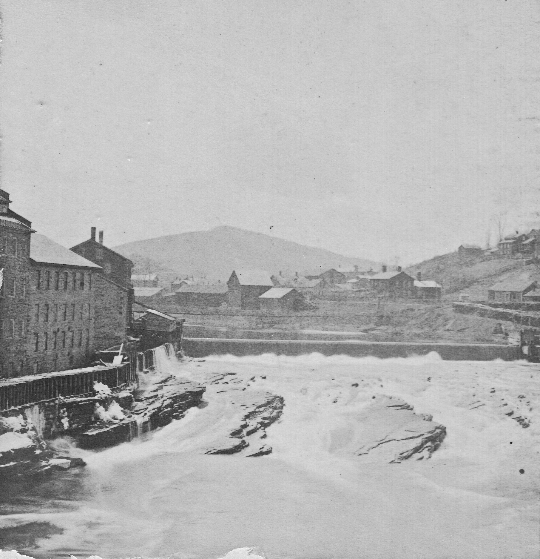
Across river: stone building was parking house of Nail Works (now Grange Hall)
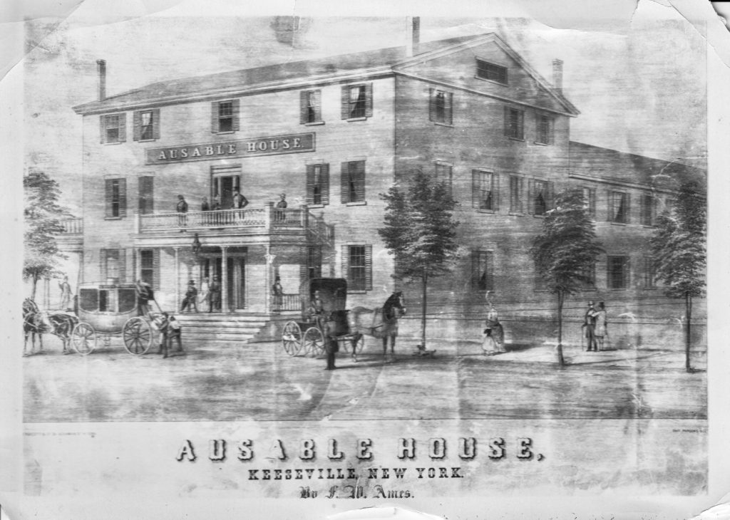
Upper building: The Ausable House which burned in 1871
Austin Bigelow House Underground RR
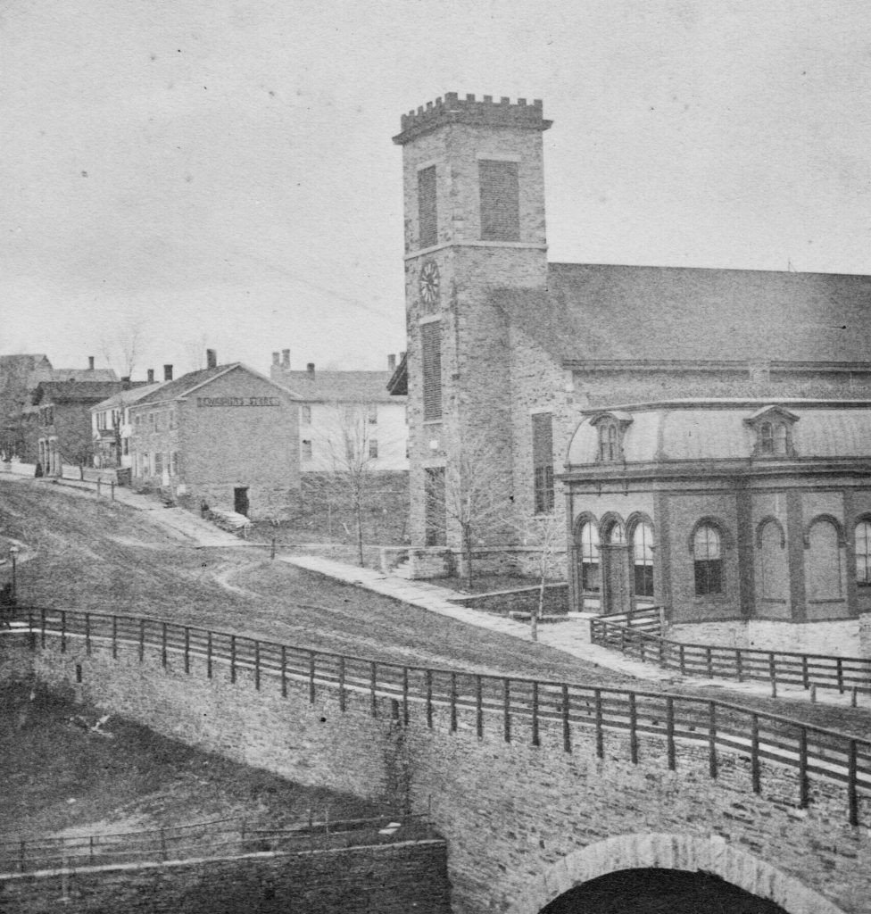
Congregational Church built 1853
Keeseville Nat. Bank 1871
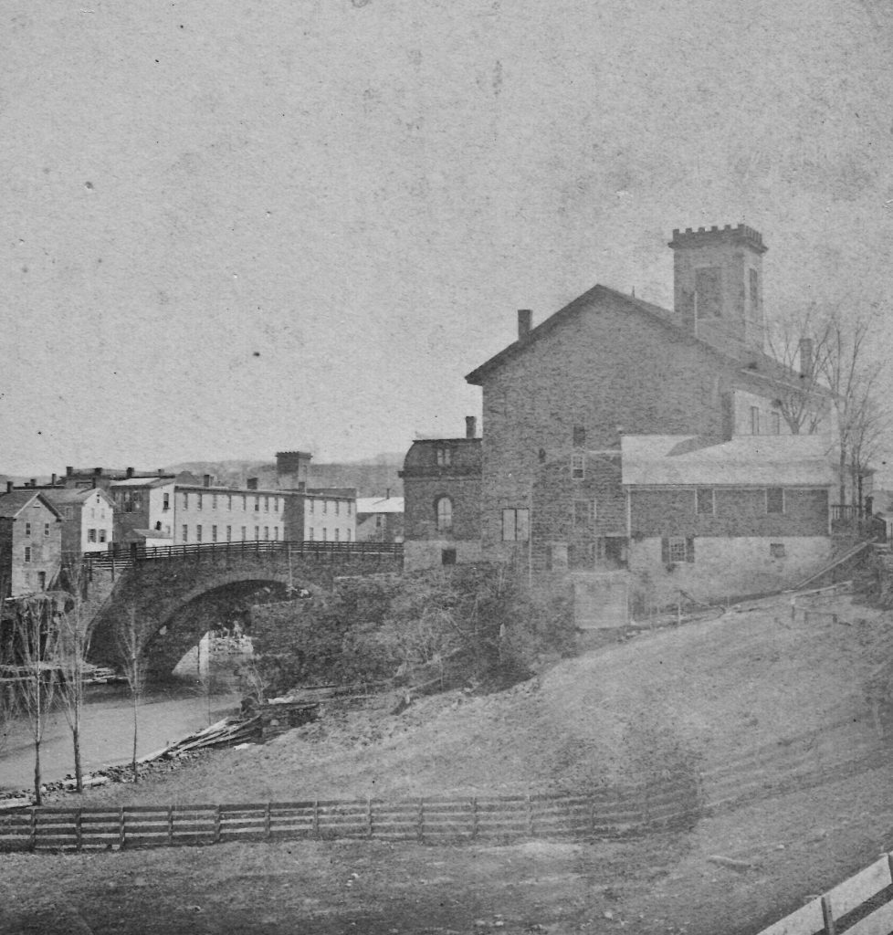
Arch Bridge 1842
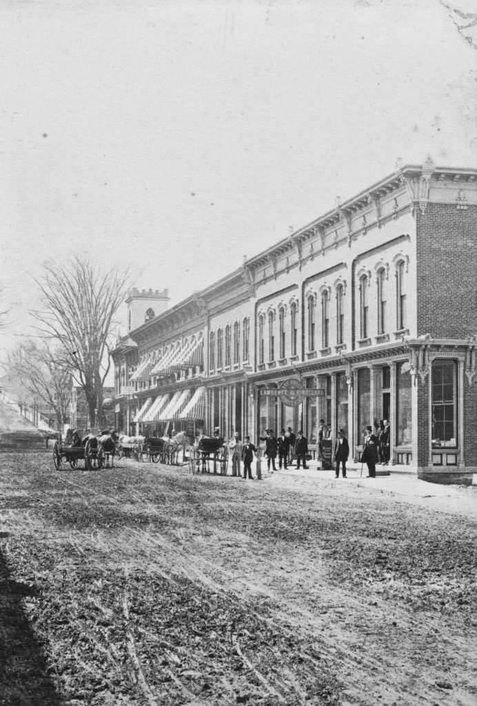
Mould Block 1868
Building on right side of bridge: McGuire’s Hotel
Corner of Pleasant + Main St.
Later Hopkins Daverns
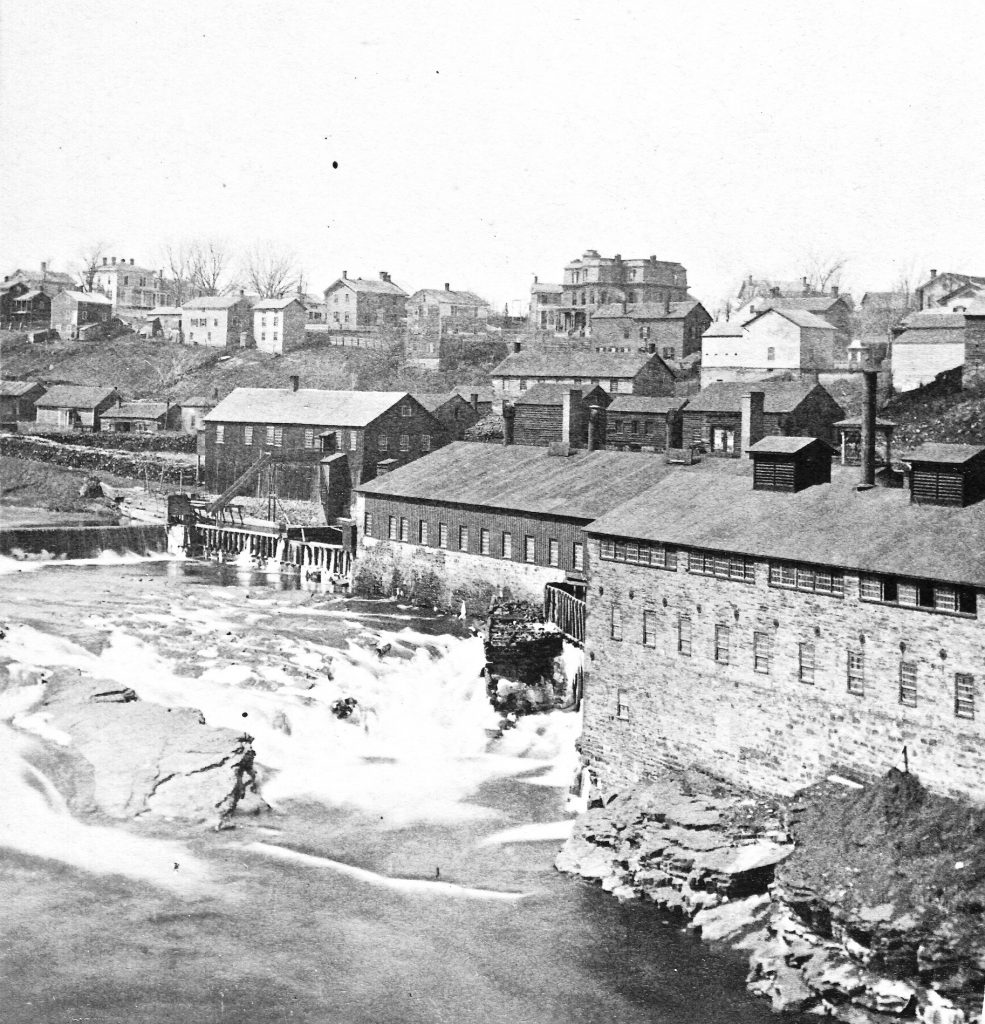
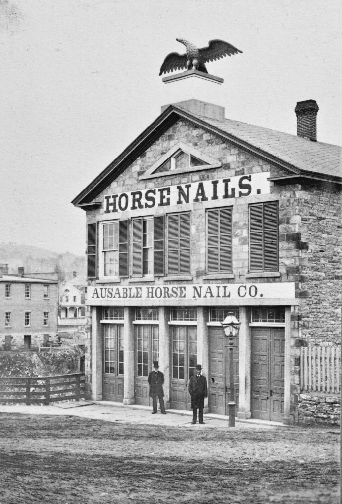
(Eagle Horse Nail Works, old name of co.)
Big house in center of picture, Kingsland Home
Later McAuley Academy (Sister of Mercy)
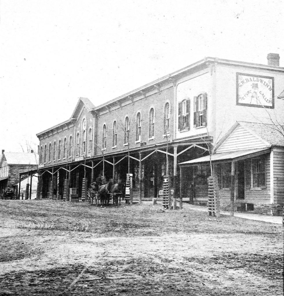
Mould Block built 1868
Replacing the one that burn in 1867
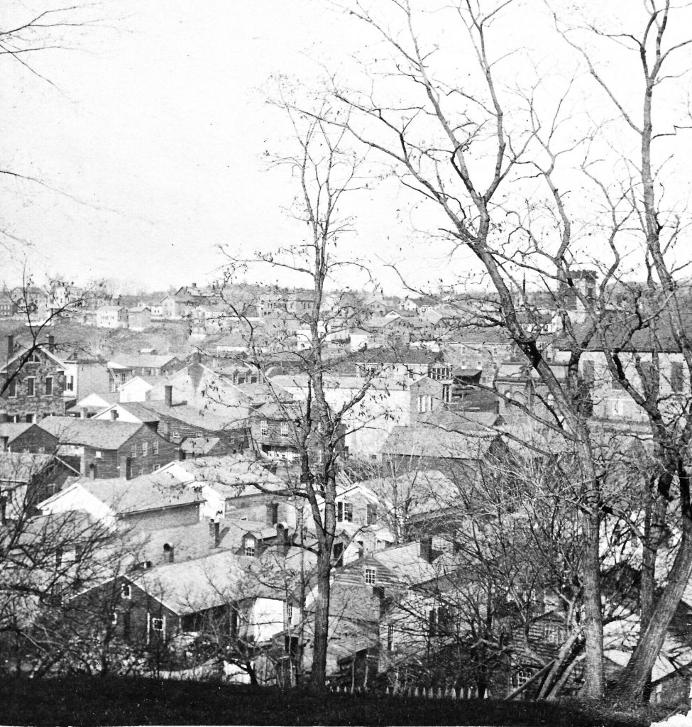
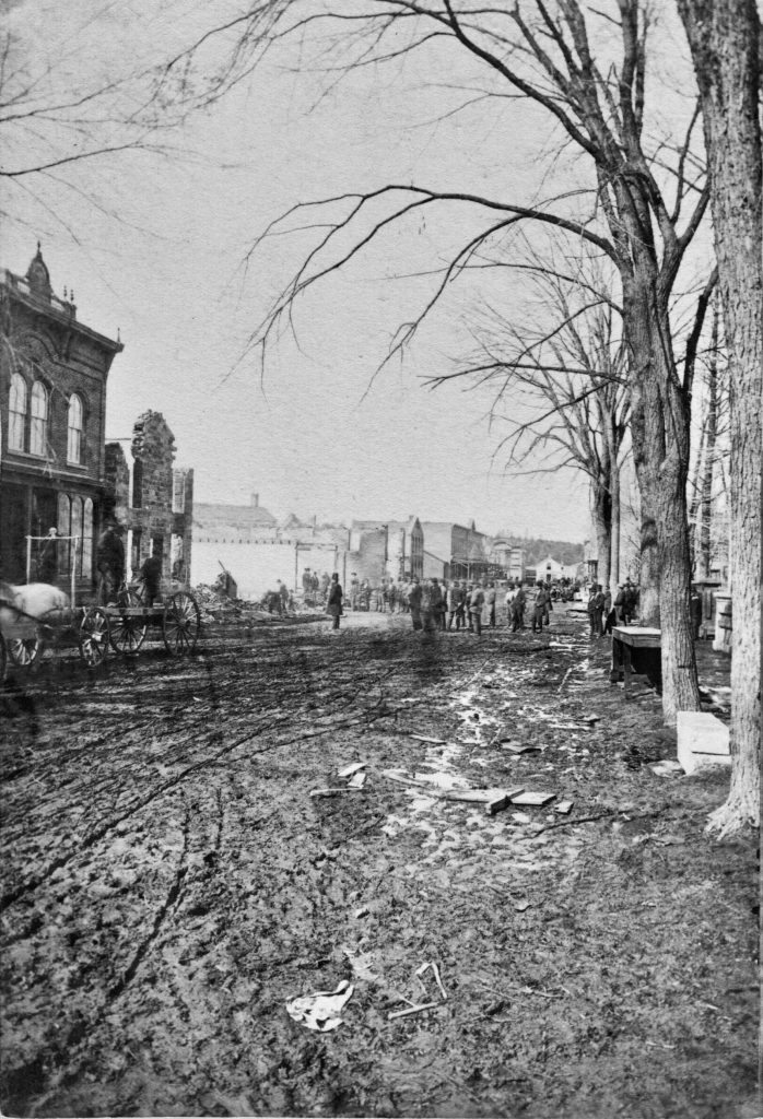
Most of these buildings (in) lower part of picture burned (in) fire Aug 16 – 1882
The Academy building built in 1835
Large stone building (3 stories high) near center of picture: The Tannery operated by Mose (sic) Gordon
Before 1877
1st large building on the left: Association Hall
2nd stone building: The Mathew (Thompson) House built in 1832. Destroyed in 1937
Large building in center of picture: The Ausable House built in 1847 – burned 1877
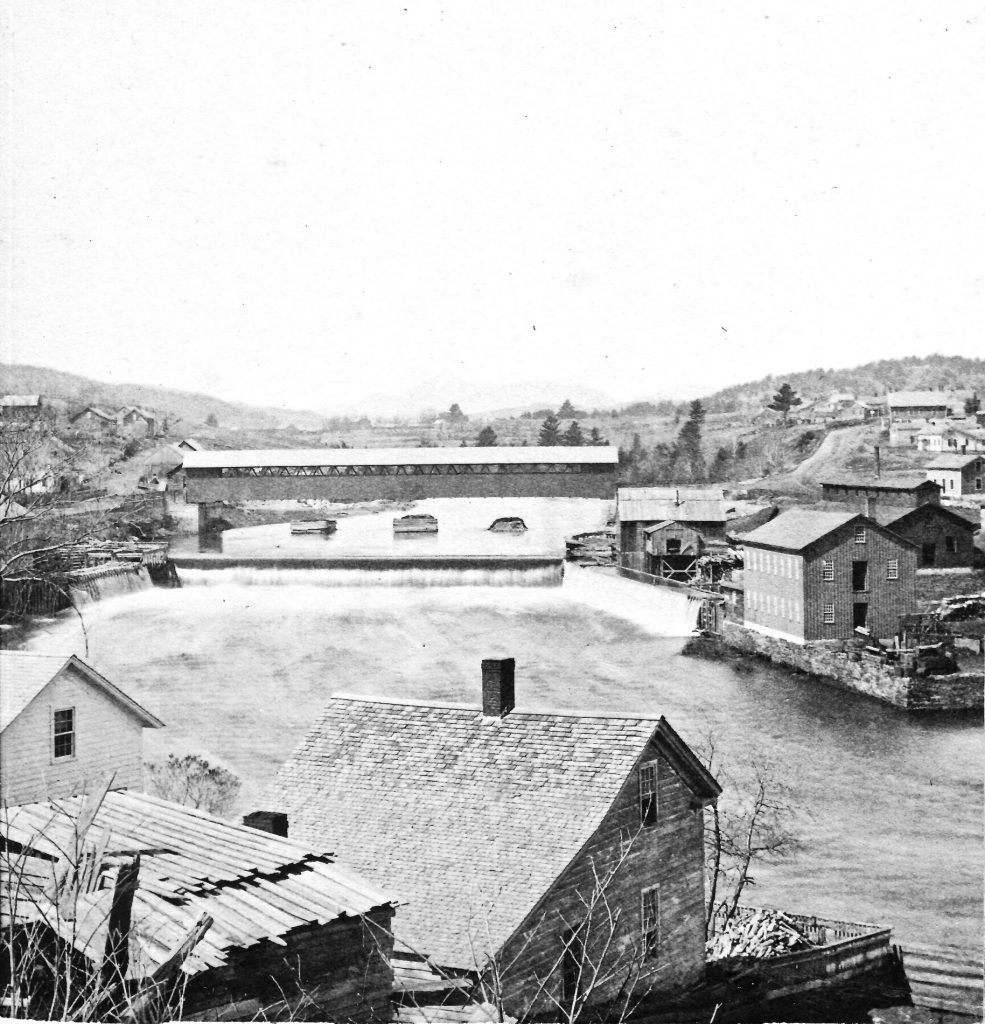
Peers (sic) under bridge originally supported a lower bridge.
1st building below bridge at right, grist mill.
Left side – Iron Works
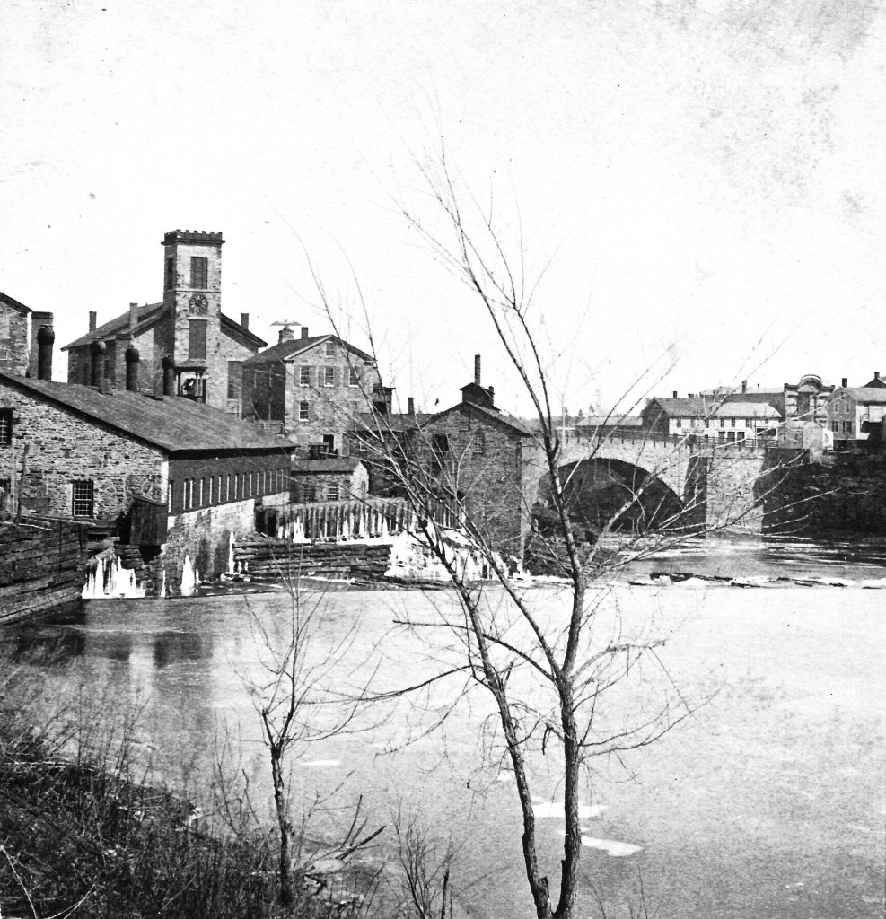
Stone church built 1853
Arch bridge 1842
Low long building right side of bridge, McGuire’s Hotel, burn in the fire of 1882 – Aug 16
Buildings at head of the street, Large one Mathews Store, hardware, stores etc.
Small one Dr. L. B. Cummings Office
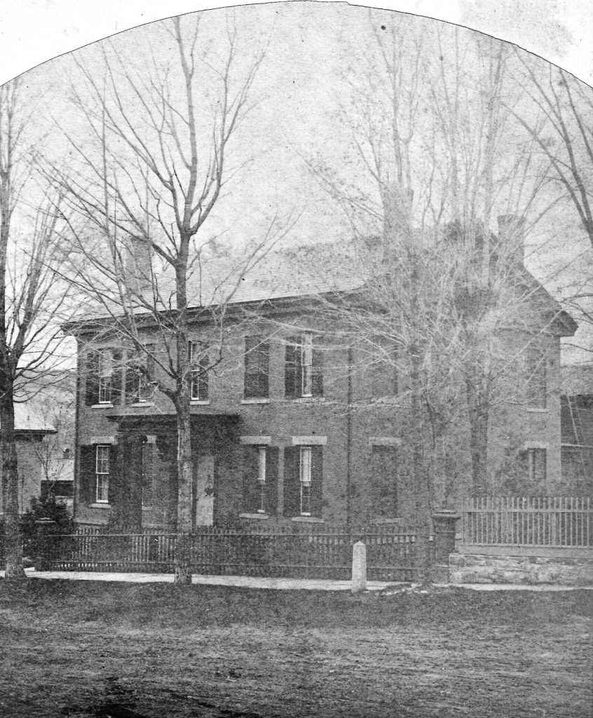
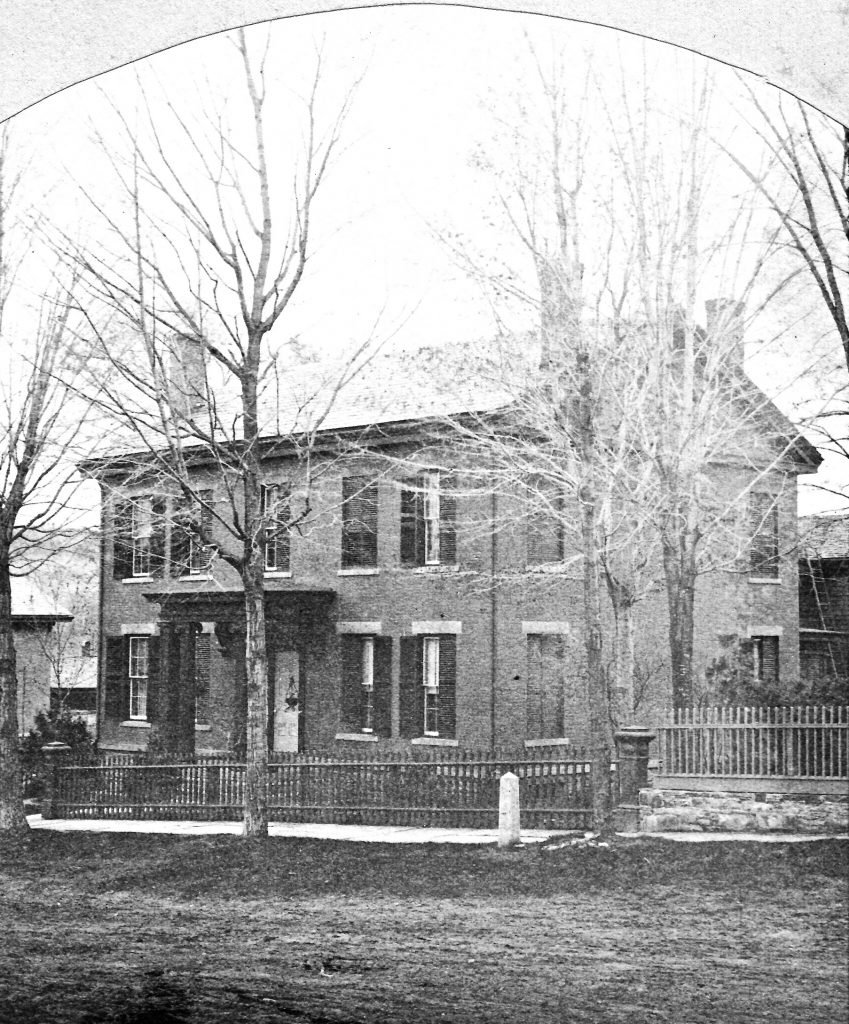
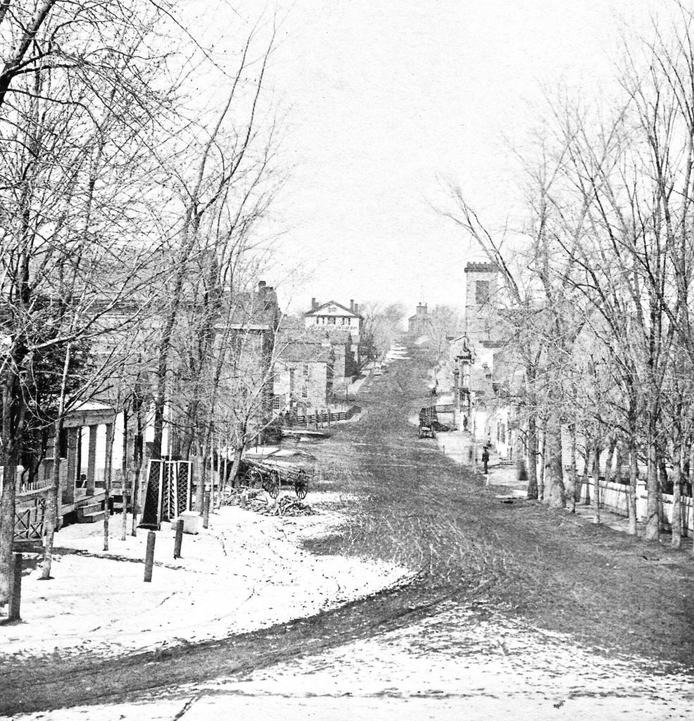
The white house Luther Whitney home on Front St.
After 1868
1st store Hopkins New Drug Store
The church on the corner burn in 1878
building built in 1876-77
Upper Kingsland Block, sight (sic) of A.P. store today
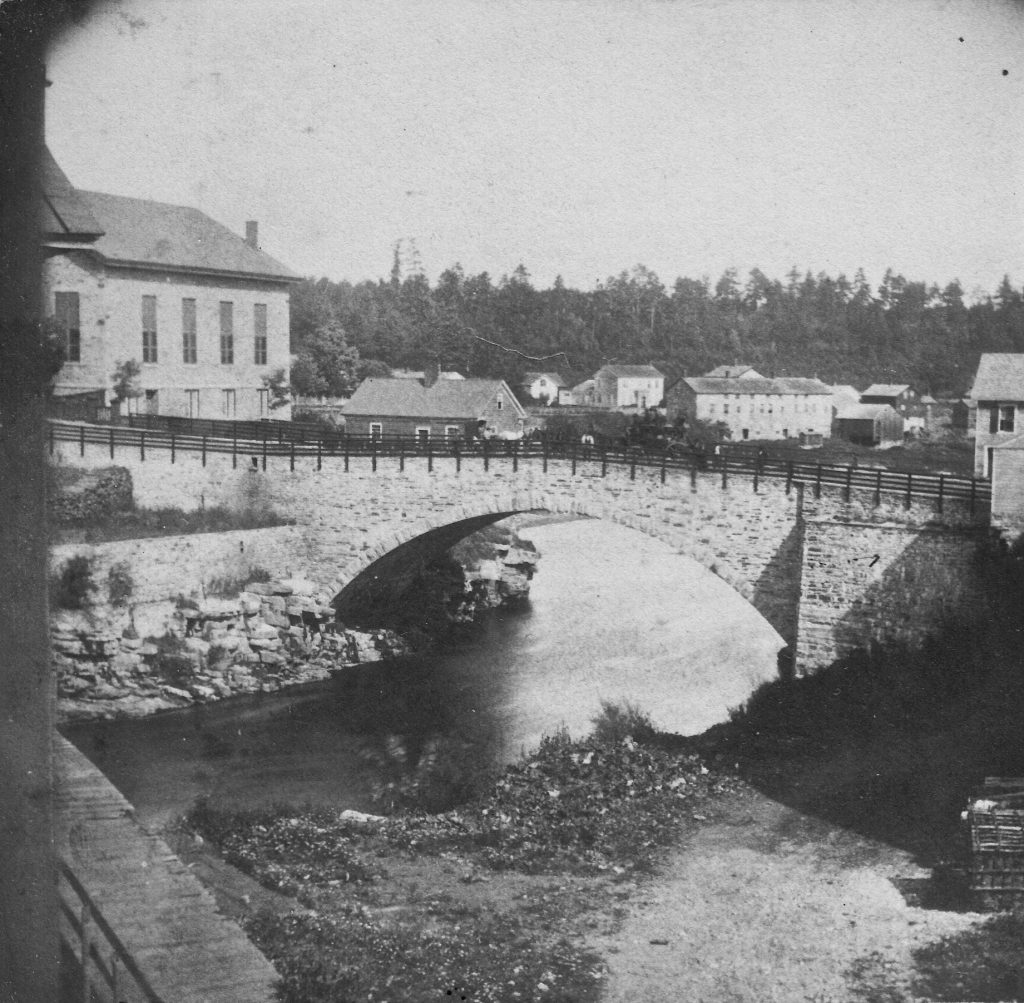
Sticker: View of the Arch Bridge, No. 8 over the Ausable River in Keeseville. Span 92 feet. By H. S. Tousley, Keeseville, N. Y.